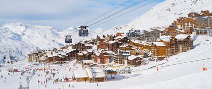
Today in Val Pelens, improving during the day:the sky will clear.
Temperatures will vary between 1 and 8°C.
The reliability of the situation is very good.
9:00 to 12:00
1°Feels Like 1°
Gusts 20 km/hCalm
Very cloudy sky with short sunny periods.
No precipitation.
No risk of rain
UV index1Low
Freezing level 0°
1850 m
Snow-rain limit
1550 m
Fresh snow
0 cm
This afternoon
8°Feels Like 11°due to the sun
Gusts 20 km/hCalm
Good weather with few clouds.
No precipitation.
No risk of rain
UV index2Low
Freezing level 0°
1950 m
Snow-rain limit
1650 m
Fresh snow
0 cm
This evening
-2°Feels Like -3°
Gusts 25 km/hN 10 km/h
CLEAR SKY.
Warning: conditions favourable to black ice.
No risk of rain
Freezing level 0°
2200 m
Snow-rain limit
1900 m
Fresh snow
0 cm
Night
-2°Feels Like -4°
Gusts 25 km/hNW 10 km/h
CLEAR SKY.
No precipitation.
No risk of rain
Freezing level 0°
2200 m
Snow-rain limit
1900 m
Fresh snow
0 cm
Share
CLIMATE info
Rain
-60%
normal
Less rain than normal
Water restriction: No restrictions
Temperature
+4°C
normal
Warmer than normal
Normal temperature : 0°C
Average, today :
4°C
One year ago : -1°C
Drought
0/5
No drought
Fire-risk indicator Risk Low
Ephemeris
Sunday 2 february
Day
+3 min
Waxing
crescent
Sunrise
07h49
Sunset
17h44
Joan de Lestonnac
Next few days
Points of interest arround Saint-Martin-d'Entraunes