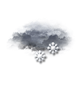
Tonight in Col Drouillet, Overcast and misty, reduced visibility. Snow showers.
Temperatures will stay constant at -1°C, it will be cold.
The reliability of the situation is good.
21:00 to midnight
-1°Feels Like -2°
Gusts 45 km/hSE 10 km/h
Overcast and misty. Limited visibility.
Snow showers.
Risk of snow
60 %
Fresh snow0.3 cm
Night
3°Feels Like 0°due to the wind
Gusts 40 km/hSE 15 km/h
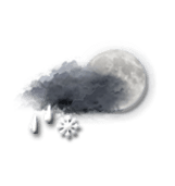
Very cloudy sky with short clear periods.
Sleet showers.
Risk of rain
90 %
Share
CLIMATE info
Rain
0%
normal
Rain near normal
Water restriction: No restrictions
Temperature
+1°C
normal
Warmer than normal
Normal temperature : -2°C
Average, today :
-1°C
One year ago : 0°C